“Know Your Zone”
The Lake County Sheriff’s Office, Lake County Office of Emergency Services and their public safety partners are launching the “Know Your Zone” campaign as part of a new emergency preparedness effort.
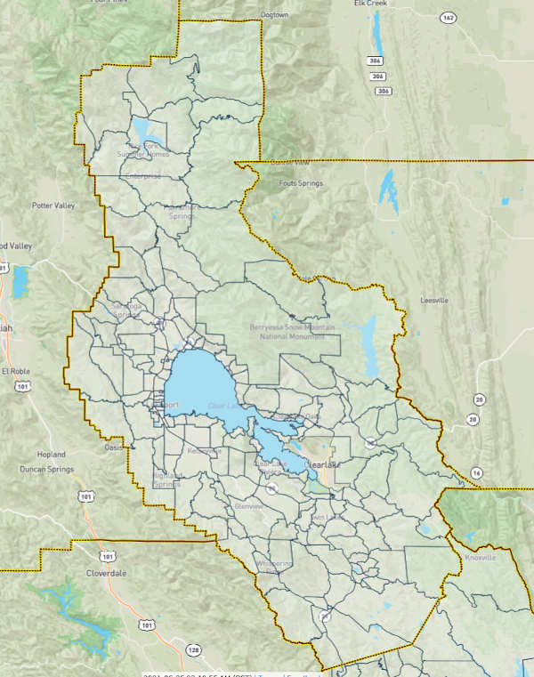
In order to better communicate with Lake County residents and businesses during evacuations or emergencies, an interactive map has been launched online that will provide important emergency information during an event.
All of Lake County has been divided into specific zones. During an emergency these zones will be used to identify areas affected by the event that is occurring.
The map, developed by Zonehaven, can be accessed at https://community.zonehaven.com and includes all evacuation zones in Lake County.
Residents can enter their address, record their zone number and review zone details before the next emergency to be able to map their best path to safety.
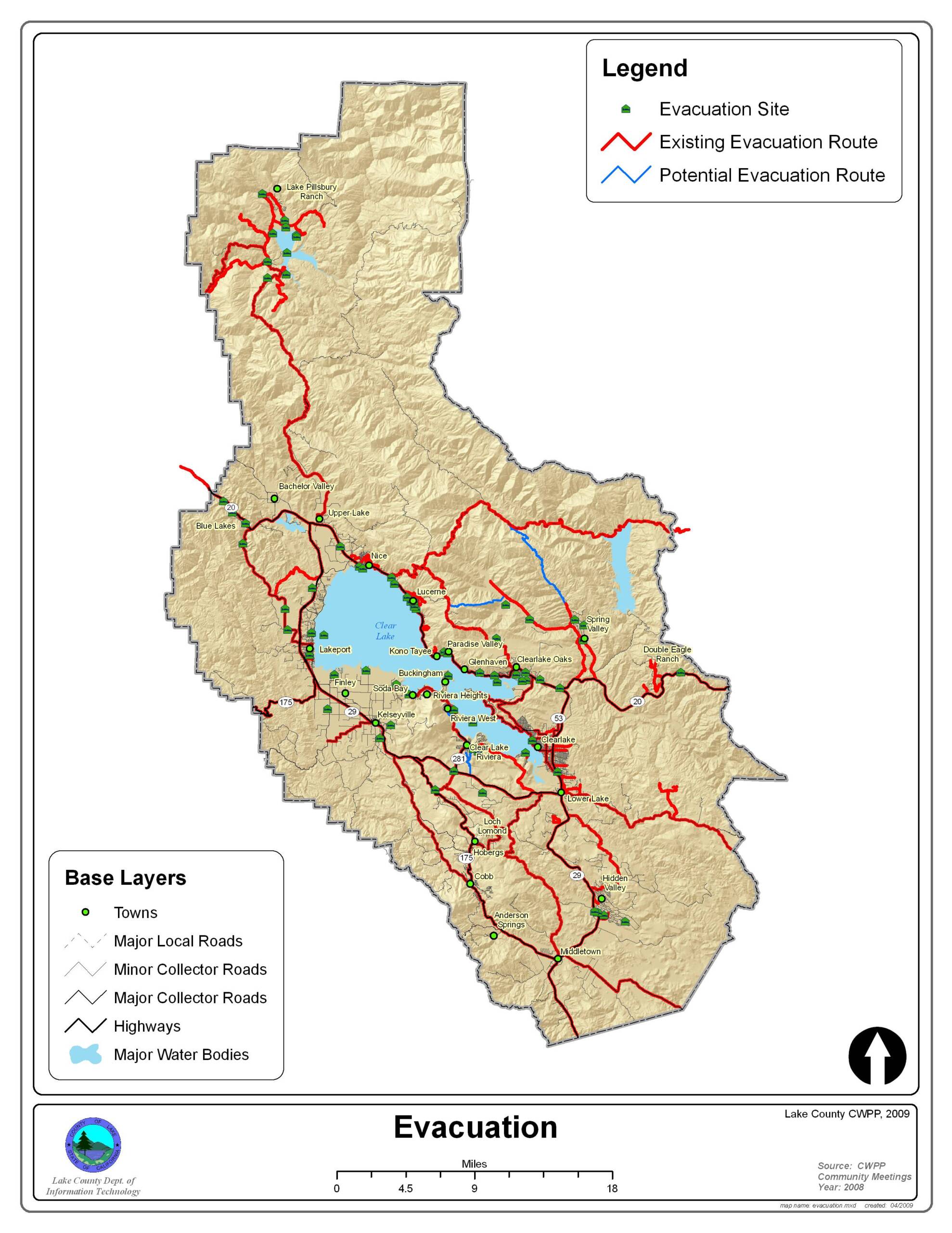
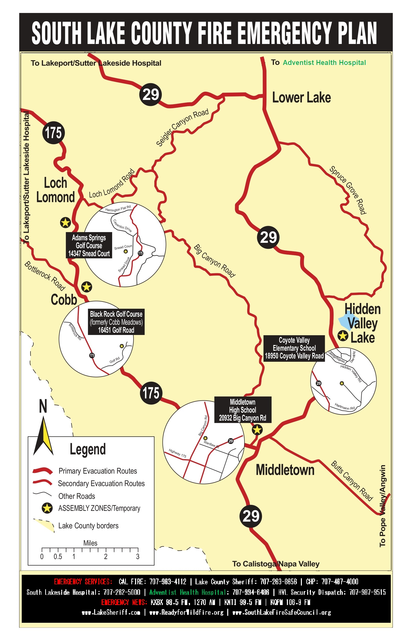
Lake County Evacuation Maps
In the event of a wildfire (or other emergency), some routes may be blocked. Plan ahead. Please familiarize yourself with the major county artery roads on the evacuation route map below. Plan on at least two different routes away from your home, workplace, and other areas you frequent before an evacuation!


